Hi Tom,
Here is a mention of a Sapony trail in New York…
Norris, W. Glenn; Old Indian trails in Tompkins County; Ithaca, N.Y.: DeWitt Historical Society of Tompkins County, 1944, 32 pgs.
The Pony Hollow Trail (Chapter VI; pages 27 – 28)
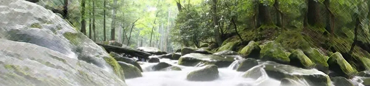
The Pony Hollow Trail was one of the lesser known paths. It did not connect with any important trial except where it joined the main trail in Cayuga Inlet Valley. In some places in its upper reaches, the trail penetrated a dark, narrow, swampy hollow; a valley that at one time harbored a remnant of the southern Siouan tribe of Sapony Indians. From the Indian word, Sapony, this locality derived its present known name of Pony Hollow.
To reach this trail from what is now Ithaca, the traveler followed southward over either the east or west branch of the Catherine’s Town or Seneca Lake trail. Near the west bank of the Inlet, where Buttermilk Creek joins the main stream, these two branches of the trail met and became a single main trail going south.
Continuing south a quarter of a mile, the trail crossed the site of the Indian village of Coreorgonel (1753 – 79). There the trail divied, on branch going westward over West Hill to Catherine’s Town near Seneca Lake. The other branch continued south past the Inlet Valley Cemetery as does the Ithaca-Emira highway.
This trail also divided; the Pony Hollow trail branched to the right over the road leading to Enfield. The other branch continued up Inlet Creek through West Danby to Spencer Lake and beyond.
The Pony Hollow trail followed the Enfield road to the present lower north entrance of the Robert H. Treman State Park. There is descended a low bank on the north side of Enfield Creek. It then crossed the broad level ground in front of the entrance to the gorge, to the steep south bank. Here a short climb was encountered, after which the trail reached the present Ithaca-Elmira highway No. 13, near what is known as the Decker farm.
From there, the trail continued toward Newfield Village on approximately the same course taken by the state highway. At Newfield Village the path ran along the eastern base of Key Hill. The west branch of the Inlet or Newfield Creek, was crossed at the south end of the village, and from there the trail continued in the direction of Pony Hollow, as does the present main highway.
The Oneida Indian guides with Col. Wm. Butler’s troops must have known of this trail. This was the route taken in September, 1779, from Ithaca to Elmira, by Butler’s expeditionary force of 600 men detached from Gen. Sullivan’s main army. It was a punitive expedition against the Six Indian Nations, allies of the British, during the Revolutionary War.
I believe that the accounts of their strenuous journey over the rough hills southwest of Ithaca, through what was then an almost impenetrable wilderness, is the first record of white men, to pass through this rugged portion of Tompkins County.
Aboriginal Place Names in Tompkins County (page 30)
Just to name a few that are listed…
Co-re-or-go-nel, Maj. Norris said it is “Call’d Corcargonell,” Where They Keep the Pipe of Peace. Small village near Buttermilk Falls at Lehigh Valley R. R. crossing; burned Sept., 1779, by Col. Dearborn’s troops. Occupied by Tuteloes and other remnant of subject tribes.
De-Ho-Riss-Canadia, another name for the above village; so called by Sgt. Major George Grant of Col. wm. Butler’s troops, Sept., 1779.
Te-da-righ’-roones, subject tribe goverened by the Cayugas.
To-tie-ronno, name of village near the head of the lake occupied by the Tedarighroones.
Sa-po-ny, southern subject tribe which occupied the valley now called Pony Hollow; present name derived from aboriginal inhabitants.
