Native American genealogy research from the Piedmont of NC & VA
My goodness! Sleepy Creek runs right smack dab through the community of Dudley, NC.
Now, this is interesting because some/many of the present day Coharie Indians say that Dudley (and Mount Olive; about five miles south of Dudley) is (are) the oldest of the Coharie homelands. My SIMMONS and WINN/WYNN ancestors came from there.
This lends credence to my long standing theory that the Coharie are to a significant extent, Saponi.
Kudos to your friend for nailing down this Saponi related historic site.
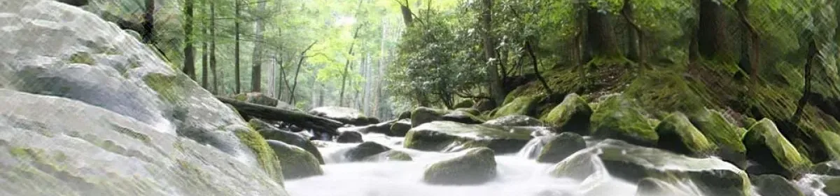
Cliffs of the Neuse State Park, established 1945, now occupies a portion of the site.
It might be a good place for one of our Eastern Siouan “get-togethers,” although the camping is a little primitive for us older folks. But that’s not for me to say, since I haven’t actually gone to one of them yet — even though they have mostly been in developed parks with lodges, etc. Anyway the park’s web site does mention the Saponi (and the Tuscarora). You have to click on the link for “Park history.”
http://ils.unc.edu/parkproject/visit/clne/home.html
Oops. I forgot to attach the Google Earth map showing exactly where Sleepy Creek is and where Dudley is. Here’s that link.
http://maps.google.com/?sll=35.25833,-77.97083&spn=0.05,0.05
If you switch back and forth between the satellite and map images, you can see that the course of Sleepy Creek runs about one mile south of Dudley; and about eight to ten miles from Dudley before it empties into the Neuse River at Cliffs of the Neuse State Park near Seven Springs.
I missed this post earlier, Sekon. Thank you. Wish I’d known about it when I lived there. I’m looking for some clay to dig to make pottery with.
